Evaluation of Land Use and Management Practices
Amber Anderson; Lee Burras; and Erin Smeltzly
Decisions regarding land use and management are based partly on the desires of the person using the land and partly on the nature of the soil. Most land is adaptable to several different uses, and its needs may be met in several ways. The landowner or operator should choose a suitable use and management combination that will maintain the long-term productivity of the land and minimize soil degradation. This section deals with the needs of the land and the restrictions those needs impose on land use and management. It does not include management decisions that involve personal preference.
Practices to Overcome Soil Limitations
It need not be assumed that all land will be used as intensively as possible. Some land owners and operators will want to use some or all of their land at a lower intensity than its potential. On the other hand, some may want to use special practices to increase the potential of their land.
Iowa’s climate and much of its soil are well adapted for growing corn and soybeans, making these crops especially profitable. Many farmers therefore want to maximize their production of these crops. Use of erosion control practices and drainage practices often make it possible to overcome soil limitations and increase the frequency of row crops.
In Iowa, soils classified as Land Capability Class VI, VII, and VIll are unsuited for cultivation. Contouring, strip cropping, terracing, and conservation tillage are not considered to be effective erosion control measures to limit soil erosion on soils in these capability classes. For purposes of the soil judging contest, the student should check “no” for questions 27, 28, 29, and 30 when the soil area is judged to be in Land Capability Class VI, VII, or VIll.
Certain good management practices such as planting high quality seed in narrow rows are not included here because they are applicable to all cropland. Using adequate fertility and good pest control practices are also assumed to apply to all cropland. The factors to be indicated here are those that would be especially beneficial to the soil being judged.
The contestant should indicate on the scorecard whether or not each of the following practices would be suited to the area and would significantly improve the potential of this particular land for agricultural uses AND be a soil conservation improvement upon current management.
Cover crops, conservation tillage, terracing, and strip cropping are often good alternatives for the same land and can be marked on the scorecard even though they may not necessarily be required to be used together on a given soil or field. Soil conservation practices selected are based upon an improvement from current management. Use the tiers below to determine if the practice would enhance conservation:
- TIER 1: Reduced tillage, contour tillage
- TIER 2: Grass waterways, strip cropping, or terracing
- TIER 3: Perennial cover or ground covered year-round
Surface Drainage
Practices that dispose of surface water to keep an area from being too wet for use, including diversions to keep water from running onto areas and ditches or land smoothing to help remove excess surface water from the area. These practices are often needed for land on level and nearly level closed landscapes with slopes less than 2%. This should be selected if the judging area is in a closed depressional area.
Subsurface Drainage
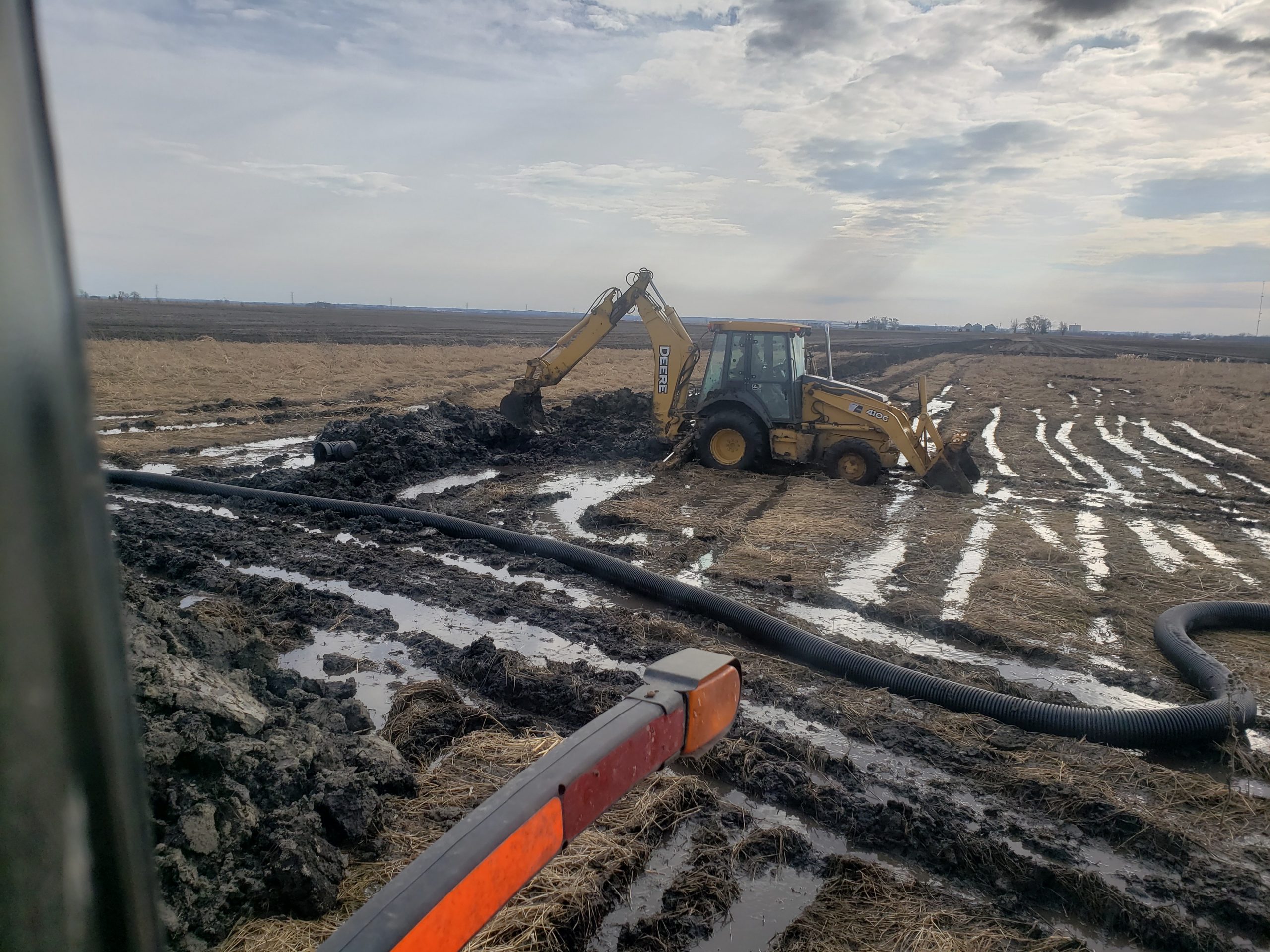
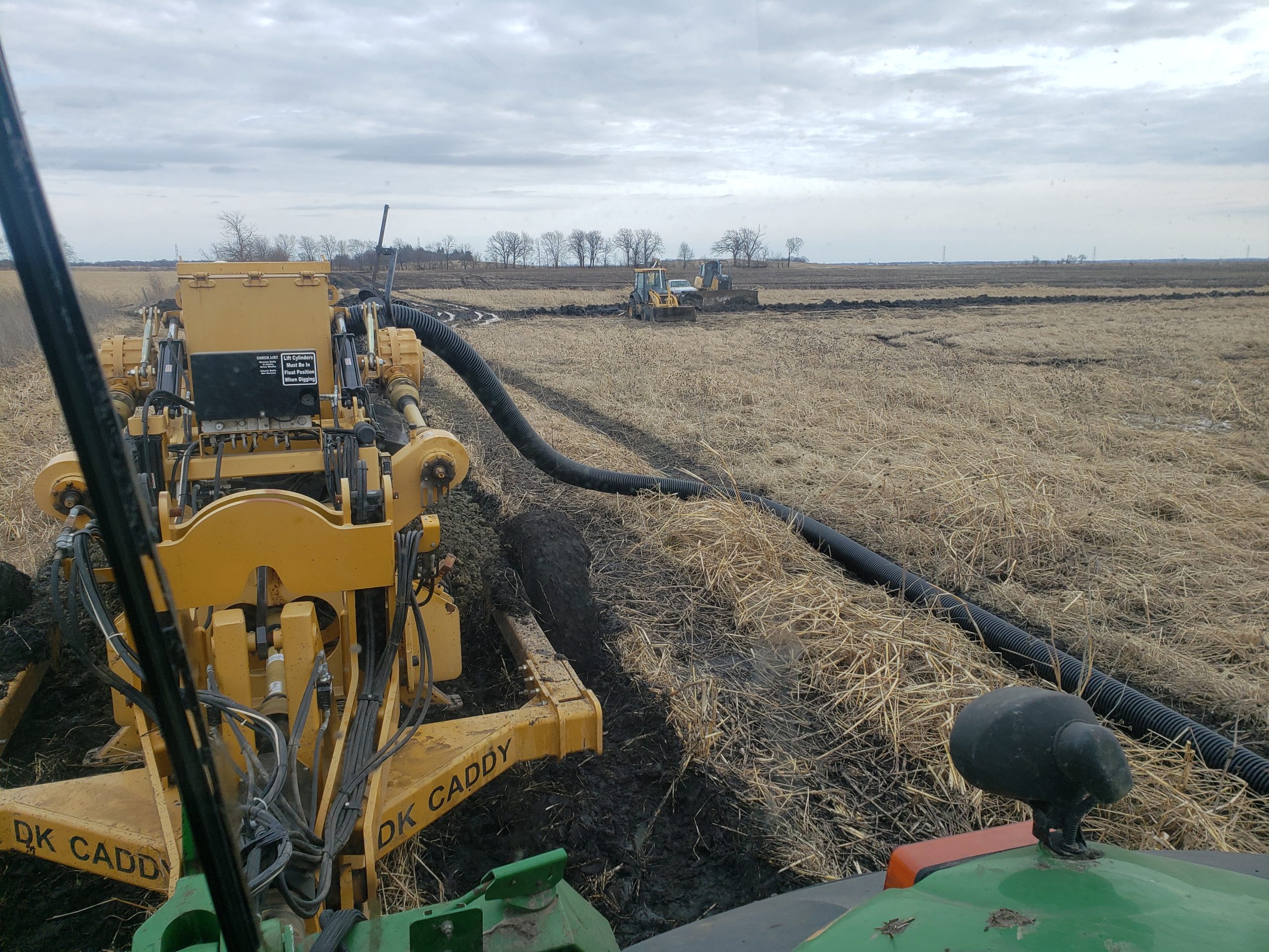
Use of tile drains or other means to remove excess subsurface water either from level or nearly level land or from seep spots on slopes. Soils with low permeability usually need surface drainage either with or in place of subsurface drainage. Tile drainage may be needed on somewhat poorly drained soils and sometimes poorly and very poorly drained soils.


Grass Waterways
Permanent grass vegetation to prevent rills and gullying in places where water flows quickly enough to erode unprotected soil drainage ways. This practice is effective in controlling erosion only from such channels or waterways. This should be selected when the judging area is in an upland drainage way or other area of significant water flow.
Contouring
Tillage and crop rows oriented across slopes to reduce the velocity of runoff. Contouring may reduce erosion as much as 50% where it is adapted, but it does not work well as a single practice where slopes are irregular or on steep topography. Contouring is recommended for slopes from 2-9%.
Strip Cropping
Strips of an erosion reducing crop placed to catch the soil that erodes from a cropped area. Usually there are alternating strips of each crop in the rotation placed either across the slope as in contour strip cropping or across the prevailing wind as in wind strip cropping. Another form, called filter strip, uses a single strip of meadow to keep silt out of a pond or other area to be protected. Strips are best adapted to areas where sod- based rotations can be used on slopes ranging from 2-14% excluding grass waterways. In addition, strips are an effective practice to reduce wind erosion on level and gentle slopes as well as areas adjacent and parallel to streams and rivers where a minimum width of 66 feet or more of nearly level slopes are present.
Terracing
The practice of constructing ridges and channels across the slope to intercept runoff water and dispose of it safely or hold it until it infiltrates. Terraces reduce erosion by shortening the effective slope length, thereby preventing large volumes of water from flowing down the slope. Terraces need not follow the exact contour. They are best adapted where slopes are long and relatively uniform and are more effective on steep slopes for erosion control than strip cropping and contouring. Terraces may be constructed on slopes of 2% gradient and steeper up to 14%. The kind of terrace installed will depend on the slope gradient, kind of parent materials, and projected land use.
Cover Crop
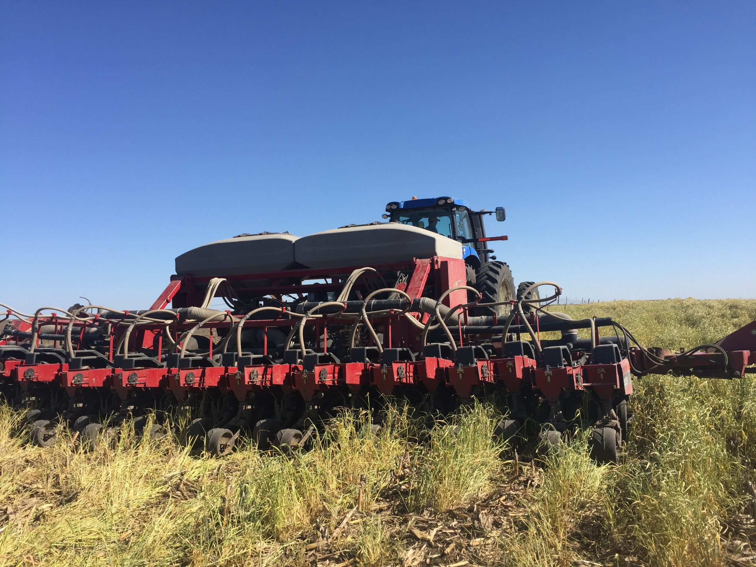
In current or ongoing CRP, cover crops would be a decrease in conservation as they would require tillage/ disturbance. Otherwise, this will be a beneficial addition in a variety of soil conditions in combination with other practices within annual cropping systems. Select “yes” if the judging area will be in an annual crop the following year.

- Tier 1 includes reduced tillage and contour tillage. Tier 2 includes grass waterways, strip cropping, and terracing. Tier 3 includes perennial cover or ground covered year-round.
- Surface drainage works to dispose of surface water to keep an area from being too wet for use. These practices are often needed for land on level and nearly level closed landscapes with slopes less than 2%.
- Subsurface drainage uses tile drains or other means to remove excess subsurface water either from level or nearly level land or from seep spots on slopes.
- Grass waterways use permanent grass vegetation to prevent rills and gullying in places where water flows quickly enough to erode unprotected soil drainage ways.
- Contouring takes place when tillage and crop rows are oriented across slopes to reduce the velocity of runoff. This is recommended on slopes from 2-9%.
- Strip cropping is implemented when strips of an erosion reducing crop are placed to catch the soil that erodes from a cropped area. Strips are best adapted to areas where sod- based rotations can be used on slopes ranging from 2-14%.
- Terraces are constructed ridges and channels across the slope to intercept runoff water and dispose of it safely or hold it until it infiltrates. Terraces reduce erosion by shortening the effective slope length and they need not follow the exact contour.
- The kind of terrace depends on the slope gradient, kind of parent materials, and projected land use.

